


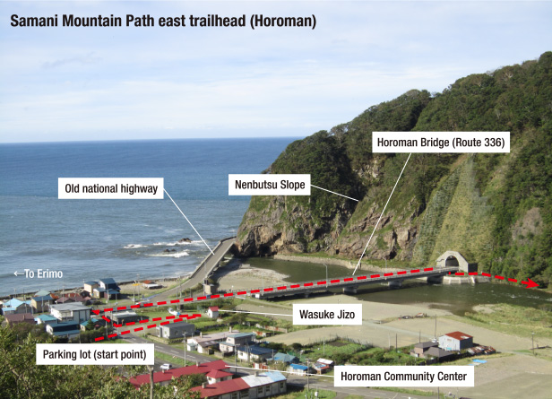
Footpath: Samani Mountain Path Route
Footpath: Samani Mountain Path Route: approx. 7 km
- Time required: approx. 4 hr
- Geosite map Download PDF file
This route follows an ancient road built by the Edo Shogunate.

2015 - 2016 reviews
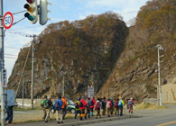
Start at east trailhead. A Nenbutsu
slope is at the back
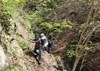
The trickiest point - Ruranbetsu Steam zone
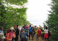
Get a reward scenery through after the trickiest area
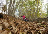
The trail covered with fallen leaves
as a carpet in autumn
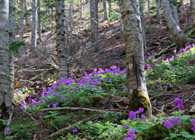
Covered the path by the Primula Jesoana var. pubescerns in spring
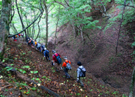
There are seven points of wading across stream through to the path.
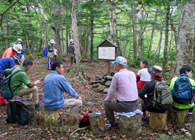
Take time out at the previous site
of the Harada Inn located in the early years of Meiji.
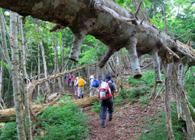
Peeled off the plant root of Abies sachalinensis
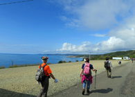
Panoramic view of Samani Town center at Kotoni, Hidaka Kombu kelp-drying ground.