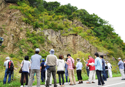
There is an old quarry site behind Samani Elementary School. The geological formation here is made up of sedimentary sandstone and mudstone that was deposited at the bottom of the sea about 100 million years ago during the Cretaceous Period of the Mesozoic Era and became land as a result of crustal movement and sea-level lowering. The gently sloping terrain extending to the west of Mt. Apoi is made up of sedimentary rock from this period.
Sedimentary rocks are categorized by particle size as conglomerate (larger than 2 mm), sandstone (2 – 0.06 mm) or mudstone (under 0.06 mm). The outcrops here are primarily sandstone.
The topography of Mt. Apoi Geopark is divided into the Apoi Mountains to the east, which formed as a result of tectonic plate collision 13 million years ago, and gently rolling terrain to the west, which was under the sea 100 million years ago. The local landscape is accentuated by rocky mountains, including the area where Cape Enrumu is situated, and Byobu Cliff in Hirau (formed 16 – 17 million years ago).
These landscapes are characterized by geological and temporal differences.


